
Walk a Green Bay Street
A useful Green Bay street directory search separates property ownership from residence. Brown County Property Search can identify a parcel owner and tax-mailing address. BrownDog shows where that parcel sits and what touches it. The Register of Deeds supplies the recorded ownership chain, while MyVote resolves election details for a specific address. Printed criss-cross directories can identify past occupants. None is a complete household roll, so compare names and dates before drawing a conclusion.
- Enter the house number and street parts in Brown County Property Search. Keep the parcel number, municipality, owner, and both physical and mailing addresses.
- Open BrownDog, locate the same parcel, and inspect adjacent parcels, districts, and document links.
- Use MyVote Wisconsin for one address and election details. A full registration list requires the proper election-office request route.
- Carry the owner name, parcel reference, and legal description to the Brown County land-record index.
- For earlier occupants, use the address section of a city directory, then confirm the name in its alphabetical section and in newspapers or census records.
The parcel number is the best bridge between systems. Street spelling can change, and units are handled in different ways. Save the exact version shown by each custodian.
Green Bay Property Search Fields
The Brown County form is built for addresses and parcels, not a broad owner-name lookup. It searches current or historical property. Begin with a few fields, then add a municipality or survey description only if the first search returns too much. Local assessors should verify current-year assessments.
| Field | Input | Use by address |
|---|---|---|
| House number, direction, street, type | Text and menus | Build the physical address. |
| Parcel or alternate parcel | Text | Reopen an exact parcel. |
| Plat type and description | Menus | Narrow a subdivision. |
| Section, township, range | Menus | Find survey-system land. |
| Municipality | Menu | Separate Green Bay from a nearby mailing place. |
| Include | Checkbox | Choose current or historical property. |
A result may show owner, municipality, districts, land class, acreage, values, and taxes. It does not name every resident. The captured Brown County Property Search screen shows the official entry point.
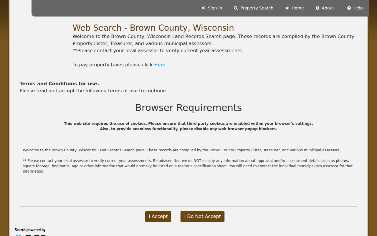
Its split controls make direction and street type worth checking separately when a full-address search fails.
Map Green Bay Street Parcels
BrownDog is the spatial half of a by-street search. Search an address or parcel, turn on parcel lines and street labels, then click each lot. County layers include aerial images, zoning, flood areas, municipalities, wards, schools, sanitary districts, transportation, and survey features. These explain where a record belongs, not who occupies it.
- Parcel
- A county tax unit that may not match one legal lot.
- Situs address
- The physical location, distinct from the tax-mailing address.
- Plat
- A recorded map of lots, blocks, streets, or survey divisions.
- Criss-cross directory
- A directory arranged by street and house number.
BrownDog’s LegalLabel can point to the document that shaped the parcel, not the newest deed. Use the related DocID for the latest instrument. GIS edit dates describe mapping work, not deed recording.
Green Bay Records by Street
No single Green Bay street directory holds every useful address fact. The strongest chain uses the parcel as its spine, then adds transactions, projects, election geography, and older directory evidence. Access also differs: some sources are free web maps, some require an appointment, and some remain on local shelves.
| Record Set | Keeper | What It Shows | Access |
|---|---|---|---|
| Property and tax roll | Brown County and municipal assessors | Owner, situs, mailing address, parcel, class, acreage, districts, values | Free online; assessor or records request for details |
| BrownDog GIS | Brown County Land Information Office | Parcel shape, address, legal label, lot, zoning, flood, and districts | Free advisory viewer |
| Deeds and related instruments | Brown County Register of Deeds | Parties, type, date, number, legal description, and recorded image | Online from 2/1/1962; office for older work |
| Election records | WEC, Brown County Clerk, municipal clerk | Public registration fields and election participation, never ballot choice | MyVote for one address; lawful list request for a roll |
| Permits and inspections | Green Bay Community and Economic Development | Project address, parcel, owner, contractor, scope, and dates | Open Data, project system, or custodian request |
| Address directories | Brown County Library and UWGB Archives | Past occupants, units, firms, and edition-specific notes | Catalog, shelf, microfilm, or archive help |
The parcel ID connects the tax roll, GIS, document references, and many project records. The standardized address links those sources to MyVote and a reverse directory. Keep both keys because an old directory may not use the modern parcel system.
Green Bay Deeds Along Streets
The Register of Deeds index and images cover February 1, 1962 forward through Laredo and Tapestry. Start with the owner shown on the current parcel. Find that party as a grantee, meaning the recipient of an interest, then record the grantor, document number, date, type, and legal description. Search the grantor as an earlier grantee to move back one transfer at a time. A mortgage or release is not the same as a deed.
Online access is not the only channel. Land searching at 305 E. Walnut Street is by advance appointment. The public terminal search is free, though printing costs apply. Copies may be ordered in person or by mail when the document number, volume and page, jacket and image, year, and page count are known. The listed copy charge is $2 for the first page and $1 for each added page, with $1 more for certification. Personal checks are not accepted.
The official Brown County real-estate search page explains the web and counter choices.
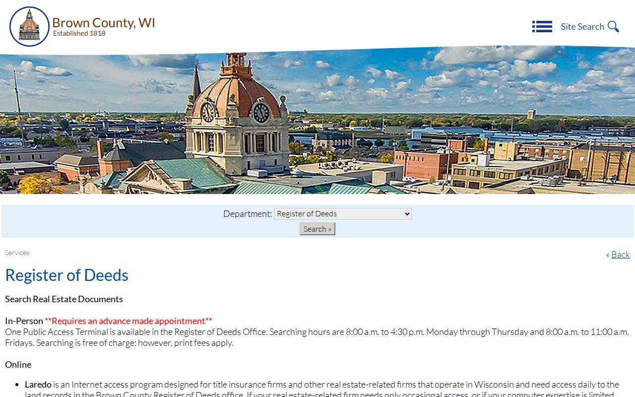
The portal screen also makes the 1962 cutoff clear, which prevents a false conclusion when an older owner does not appear online.
Note: For pre-1962 deeds, move to the office tract index, deed books or microfilm, UWGB Area Research Center, and Wisconsin Historical Society.
Green Bay Permits by Address
Green Bay Open Data lists assessor, parcel, inspection, and building-project records keyed to an address or parcel. A permit application may include the property owner, contractor, project address, parcel number, work type, scope, cost, approvals, and permit dates. That creates a dated property event, not a resident roll. The city reports about one week for current permit processing after it receives the needed information.
For records not exposed online, use the City Clerk or the department custodian and describe the address, project, department, and date range. The city service-request system can look up a request and accepts address-related categories, but active investigations, victim information, medical facts, or other protected material may be withheld.
Green Bay Voters by Street
MyVote’s address route asks for street address, city, ZIP, and an optional unit. It resolves polling, ward, district, and election details for that location. It is not an open list of every voter on a block. Wisconsin Statute section 6.36 permits electronic access to public registration-list fields while withholding birth dates, license numbers, Social Security numbers, and protected information.
A complete roll must come through the Wisconsin Elections Commission or the relevant municipal election office under its current list rules. Historic poll books and registration registers may instead be held by UWGB Archives. Participation data can show that a person took part in an election, but never how the person voted.
Green Bay's Changing Street Grid
Old street records follow Green Bay’s changing jurisdiction. Navarino and Astor developed east of the Fox River, while Fort Howard stood to the west before its 1895 annexation. The Town of Preble consolidated with Green Bay in 1964. A historic listing may therefore use Fort Howard, Preble, a former community name, or a different municipal context even when the modern parcel sits in Green Bay.
No verified citywide renumbering year was found. When a number disappears, compare directory prefaces, old plat maps, City Clerk or Planning maps, the city’s historic survey, and county street GIS. The library has Brown County plat maps from 1889, 1900, 1928, and 1936 plus an 1875 wall map, useful when a modern address did not yet exist.
Older Green Bay Street Directories
The Brown County Library’s Local History and Genealogy room holds Green Bay and Brown County directories, some dating to the 1870s. Later address or criss-cross sections let a researcher scan a street number, record its occupant or business, and then turn to the alphabetical section for spouse, widow, work, or residence marks used by that edition. Exact year runs and symbols must be checked in the volume.
The full historical shelf belongs in the Green Bay city directories collection. For by-address work, note the edition year, every printed unit, and the abbreviation key. Pair each result with census, newspaper, deed, or vital evidence. A missing listing can mean a skipped publication, an unlisted household, a rural exclusion, or a move.
Green Bay Map Links Change
Brown County’s Land Information Office reported that many older maps and apps were taken offline or condensed into BrownDog2.0 during 2026. A broken saved map link does not show that the parcel record vanished. Return to the Land Information Office gateway or county ArcGIS services and search the address again.
This transition also helps explain why a street directory citation should preserve the parcel number, legal label, and office name, not only a long viewer URL. Those stable identifiers can be taken to the counter if the current map interface changes.
County parcel services also distinguish tax parcels, condominium units, gaps, overlaps, roads, rail rights-of-way, and private roads. A line visible on the screen may therefore represent something other than a home lot. Check ParcelType, CSM, lot, municipality, and the related address table before counting parcels along a Green Bay street. Split and merged parcels can retain historical references, so the Historical Properties option may recover an address that no longer matches the present polygon. A street-by-street inventory is strongest when it records those exceptions instead of forcing every map shape into one household row.
Green Bay Street Directory Limits
A property owner is not automatically an occupant. The mailing address may belong to a trust, estate, firm, agent, or owner who lives elsewhere. Renters, family members, utility customers, delivery records, and unlisted occupants are not supplied by the parcel record. Protected electors and Safe at Home participants may create intentional gaps. BrownDog is advisory and cannot replace a survey or recorded deed.
Use the street directory chain for family history, property research, civic questions, or reconnecting where contact is welcome. Confirm each conclusion with the custodian. Do not publish a compiled list of private household members.
Lawful use. Green Bay address records are for lawful personal research. Never use an address or name to stalk, harass, intimidate, or harm anyone.